
Marshfield Address Sources for Previous Residents
A backward search has more than one clock. The assessor record supplies a present parcel key and assessment context. The Plymouth County Registry of Deeds supplies the recorded transfer trail. Historical directory volumes, maps, and local collections can then place a household or a building at a date. The evidence is strongest when each item keeps its own role: a deed party is a party to a transfer, an assessment card is a tax record, and a directory entry is a dated listing. None alone proves continuous occupancy.
| Source | Years it covers | Where held | What it can show |
|---|---|---|---|
| Plymouth Colony deeds | 1620–1685 | Plymouth Registry / TitleView collection | Colonial conveyances and an end-of-volume index. |
| Registry books and party indexes | Book 1 from 1686; indexes Aug. 6, 1686–current | Plymouth County Registry | Recorded parties, dates, instruments, book and page leads. |
| Linked plans | 1890–current | Registry / TitleView | Lots, streets, easements, and subdivision clues. |
| Marshfield directories | 1894, 1915, 1918, 1926 | State Library and local repositories | Dated inhabitant, street, business, and summer-resident entries. |
| Sanborn map sets | 1916, 1933–1942, 1954 | Library of Congress and State Library | Street, footprint, construction, and place context. |
Use the date you need to choose the first source. A question about a recent transfer starts with the parcel and registry. A question about an older building may need a plan and map before a name search. The Town Clerk also links resident street lists for 2016–2021, but the research did not capture their field definitions or contents, so they remain a dated local lead to inspect rather than a verified household roster.
Marshfield Past Residents in Registry Eras
The official Registry records-search route opens the path to TitleView, where recorded-land searches can be narrowed by party, town, document type, date, book and page. Select Marshfield when possible, then preserve the returned party role, recording date, document type, book/page or document number, and any image-view notice. A name result is an index lead. The instrument itself supplies the legal description, plan reference, restrictions, and other detail that an index cannot safely summarize.
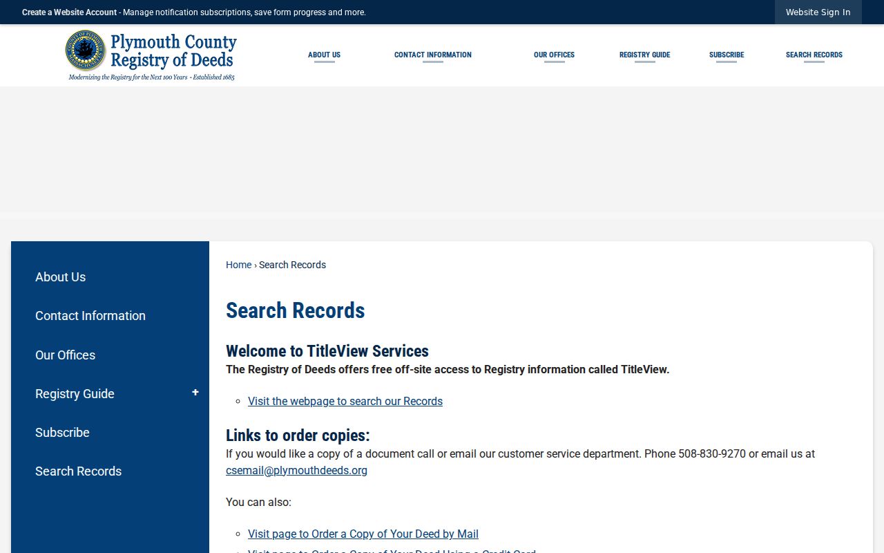
The Registry route is useful even when the target is old, because it identifies whether the next step is a linked record, a printed index, an unindexed book, or a counter request. Search and viewing are free through TitleView; printing has a separate portal subscription and per-page charge, while recorded copies follow the Registry’s current fee schedule.
Modern linked searching begins around Book 2393. Books 1–2392 require the unindexed-book workflow, and older grantor/grantee indexing has back-indexing cautions. The Registry’s inventory also identifies registered land from 1899 and plans from 1890. That coverage makes the source a route map, not a guarantee that every old name will appear in a single modern query.
Trace Marshfield Previous Residents Through Deeds
Start with the current parcel card in Marshfield Patriot Properties. Save the situs address, parcel ID, assessment year, owner and mailing fields, sale date, book/page lead, and map or lot fields. The assessor’s tax-owner date may differ from a later transfer, so follow the lead into TitleView before calling a transfer current. The recorded instrument, not the parcel card, controls the title question.
- Search the exact street or parcel, then record the assessed situs, parcel identifier, sale lead, and the date attached to the card.
- In TitleView, search Marshfield by the apparent owner, date range, and book/page or document lead. Inspect the returned party role and instrument type.
- Read the instrument’s legal description and plan references. These descriptions keep the trail connected when a street number changed or a lot was divided.
- Search the prior transferor as a grantee to locate that party’s earlier acquisition, then repeat the same record-and-date method.
- When the chain reaches an unindexed book, switch to the Registry’s printed indexes, book route, public terminals, or copy-order channel. Record the failed online search instead of treating it as absence.
- Grantor and grantee
- A grantor transfers an interest; a grantee receives it. Those roles identify a transaction, not a household.
- Chain of title
- A dated sequence of recorded transfers tied to the same land. It can break when indexing, parcel descriptions, or research coverage changes.
- Legal description
- The deed’s land description, often tied to a lot or plan. It is more durable than a street address for matching older records.
Marshfield Previous Residents Beyond Online Indexes
The Registry Records Inventory makes the older-search boundary plain: early books exist from 1686, but the online workflow distinguishes unindexed Books 1–2392 from later indexed books. A failed party-name search may therefore be a coverage problem, an initial or spelling issue, a trust or entity name, or a need to consult a printed grantor/grantee index. It is not a conclusion that a family had no connection with the parcel.
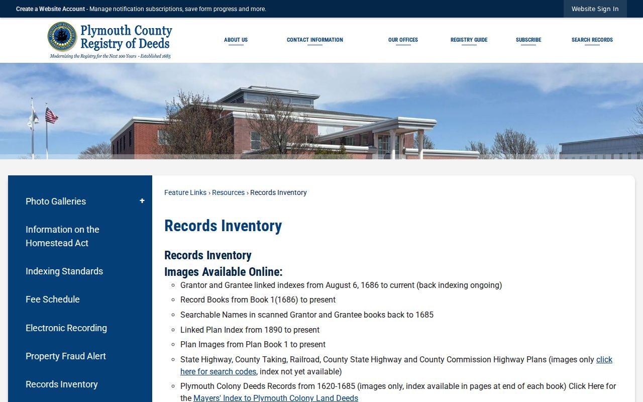
The inventory also separates plans, registered land, and colonial deeds. Save the collection category with each lead. A plan may explain a former lot line or a changed road, while a registered-land certificate follows a different record path. The Registry’s public-access stations and copy-order options are the practical alternatives when a web result is incomplete or an image requires a different access route.
Note: Preserve initials, married-name forms, trust names, and exact spellings from each result because the older indexes are not uniformly edited.
Marshfield Previous Residents in Assessment Snapshots
The Marshfield assessor record is useful at the start and at each later checkpoint because it identifies the parcel, situs, valuation context, sale lead, and current or prior assessment links. It is not a full history. The online file is updated yearly, and its fiscal-year context can lag a later recorded transfer. Preserve the assessment year with the owner and mailing fields, then compare the card to the Registry instrument recorded near the same date.
A Marshfield parcel can also carry different situs and mailing addresses. That distinction is visible in the research sample and is especially important when tracing past residents. A tax mailing destination may belong to an owner or representative outside town, while the situs identifies the physical property. Keep both labels and do not translate either into an occupancy statement. The map/lot, parcel ID, legal reference, and dated instrument are the stronger links across changing address records.
Marshfield Previous Residents in Dated Places
For the household layer, use the historical source as it was published. The State Library lists Marshfield directories for 1894, 1915, 1918, and 1926. The 1918 and 1926 Harold Howard volumes combine Scituate and Marshfield and distinguish such sections as inhabitants, streets, businesses, officials, organizations, and summer residents. Record the section name with the entry. A summer-resident listing should remain a seasonal historical clue, not be restated as year-round residence.
Ventress Memorial Library’s Historical Room holds local-history books, cemetery plot listings, town reports, census and residential lists, limited vital material, and photographs. Appointments are encouraged, use is free, and staff research is limited by time and scope. The historical collection can help locate a dated list or local publication after the parcel and deed trail supplies the right street, surname, and era.

The historic-map layer adds the building context. The Library of Congress has 1916 and 1954 Marshfield Sanborn sets, and the State Library lists Marshfield sheets for 1933–1942. Compare street name, sheet, footprint, occupancy notation, and nearby lots with a plan and the present assessor card. This can show continuity or replacement without claiming that the person in a nearby record lived in the building.
Pair Marshfield Past Residents With Dated Lists
Property ownership and historical presence must stay separate. A deed chain may identify transfers of land; a directory, town list, cemetery file, or newspaper item can place a person at a date. Pair a directory year with the same period’s town or repository material, then compare the exact printed name, street form, section, and source date. The holdings and how to read their sections are detailed in the Marshfield city directory collections.
- Choose a cutoff, such as a directory year, a map year, or a recorded deed date.
- Record the historical address exactly as printed, including any village label or abbreviated street form.
- Match it to a plan, parcel, or nearby cross street before treating it as the present address.
- Compare the source section and date with the deed parties, a town list, cemetery material, or the Historical Society catalog.
- Label every result as owner, deed party, listed inhabitant, summer resident, or local-history lead rather than merging those categories.
Obituary coverage was not located as a named public Marshfield index. Ask Ventress or the Marshfield Historical Society for a newspaper clipping file, cemetery index, funeral-home index, or date-range search instead. The Historical Society’s PastPerfect catalog and curator appointments can help with family papers, photographs, houses, and local events, but a catalog hit is not proof that a complete file is open.
Marshfield House Trails Need Record Dates
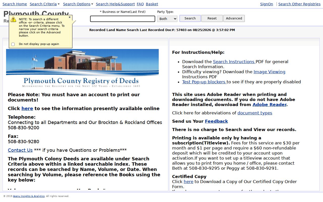
The Plymouth TitleView search interface offers recorded-land name, book, unindexed-book, date-range, document, property, plan, and historical index paths. It also makes an important distinction between free searching and viewing, paid printing, and a certified or ordered Registry copy. Keep the URL, query terms, access date, record date, and visible disclaimer with a result, especially when a historical search may be rerun later.
For an address that appears to have changed, compare the old road segment, nearby parcel, plan, and map rather than forcing a text match. Marshfield’s coastal and village labels can also vary between historic maps, directories, postal records, and current municipal geography. A dated provenance note is more useful than an undated statement about who lived at an address.