
Search the Marshfield Street Directory by Address
An address-led Marshfield street directory search begins with the most exact form of the street and number. This street directory method starts with the town assessor’s database, which can connect that entry to a parcel, an assessment owner field, a map context, a sale lead, and other property details. The title trail then moves to the Plymouth County Registry of Deeds. Town lists, historical directories, and maps can add a dated historical layer. Keep each layer separate, because a parcel owner, recorded party, and person listed in an old street section may describe different relationships.
Street suffixes matter. Search Street and St, Road and Rd, Avenue and Ave, and any historically used name form when the portal permits. Compare nearby cross streets, map/lot, plans, and the property description when an old address does not line up with a current number. Marshfield Center, Marshfield Hills, North Marshfield, Rexhame, Fieldston, Ocean Bluff, Brant Rock, Green Harbor, and Sea View are planning or local labels, not automatic address replacements.
- Enter the street name in Patriot Properties and save the returned parcel row, including its assessment year.
- Narrow to a street number or parcel ID, then record the situs, mailing label, sale lead, and map/lot if shown.
- Use the parcel’s book/page, date, and party information in TitleView with Marshfield selected.
- Read the registry instrument and any plan reference before relying on a boundary or transfer conclusion.
- For a historical period, pair the dated street source with a directory year, Sanborn sheet, town list, or Library collection.
Note: A matched address is stronger than a name alone, but it still needs a record date and source type.
Marshfield Property Search in Patriot
Patriot Properties is the direct online route for modern Marshfield street research. The form accepts street name and street number as well as owner, parcel, neighborhood, land-use code, sale, value, building, and book/page inputs. Search the full street first to enumerate parcel results, then use the number or parcel key to isolate a record. A broad road search is a discovery tool, not a claim that every row identifies a current resident.
The landing page identifies the assessment database and its fiscal-year context. A property card can show owner and mailing information, property location, valuation, building details, sale information, and record links. For an ownership question, the card is a lead. The recorded land instrument controls the title question, and a tax owner can remain on a current-year bill after a later transfer because the town uses a January 1 owner rule. That is why a street directory result needs a registry check before it is treated as a title conclusion.
The Marshfield Patriot Properties landing page is the official assessor-database route for this address workflow.
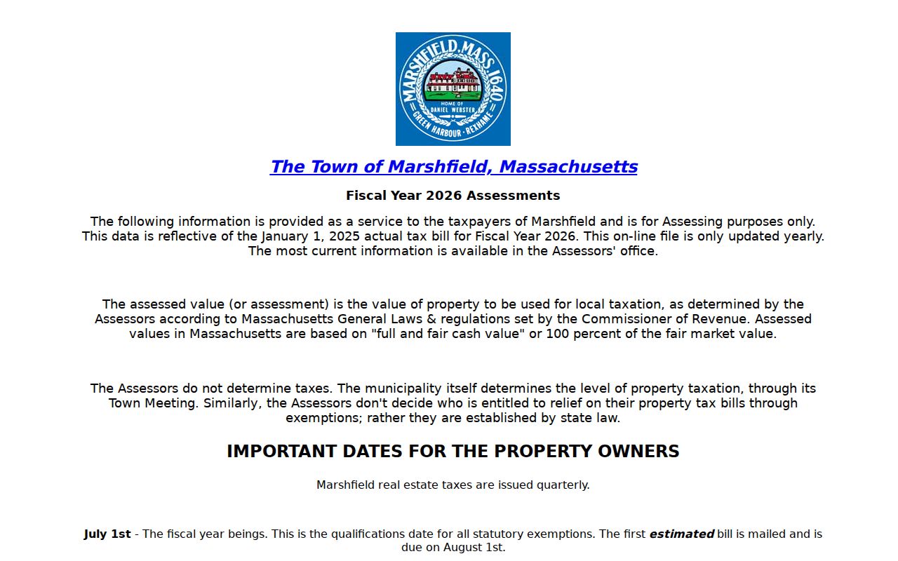
The database supplies a practical first crosswalk from a Marshfield street address to the parcel record that needs later verification.
Marshfield Address Search Fields
The Marshfield assessor form exposes optional fields rather than a single required search box. That helps when a street number is incomplete, an address has an unusual suffix, or a result needs to be narrowed by a sale reference or parcel. The observed results can be sorted and can show parcel ID, location, owner, building type, total value, beds, baths, lot size, finished area, land-use code and description, neighborhood, sale date and price, and book/page.
| Search field | Input | Street-directory use |
|---|---|---|
| Street name / number | Text | Find a road or reduce the results to one address. |
| Owner | Text | Check an assessment name against the correct parcel. |
| Parcel | Text | Open an exact municipal property route. |
| Neighborhood / LUC | Code or select | Retain the returned label and code as property context. |
| Sale date / price | Range | Build a recorded-deed follow-up. |
| Book/page | Two text fields | Carry an assessor lead into TitleView. |
The live Marshfield assessor search form displays the street, owner, parcel, and sale-oriented controls described above.
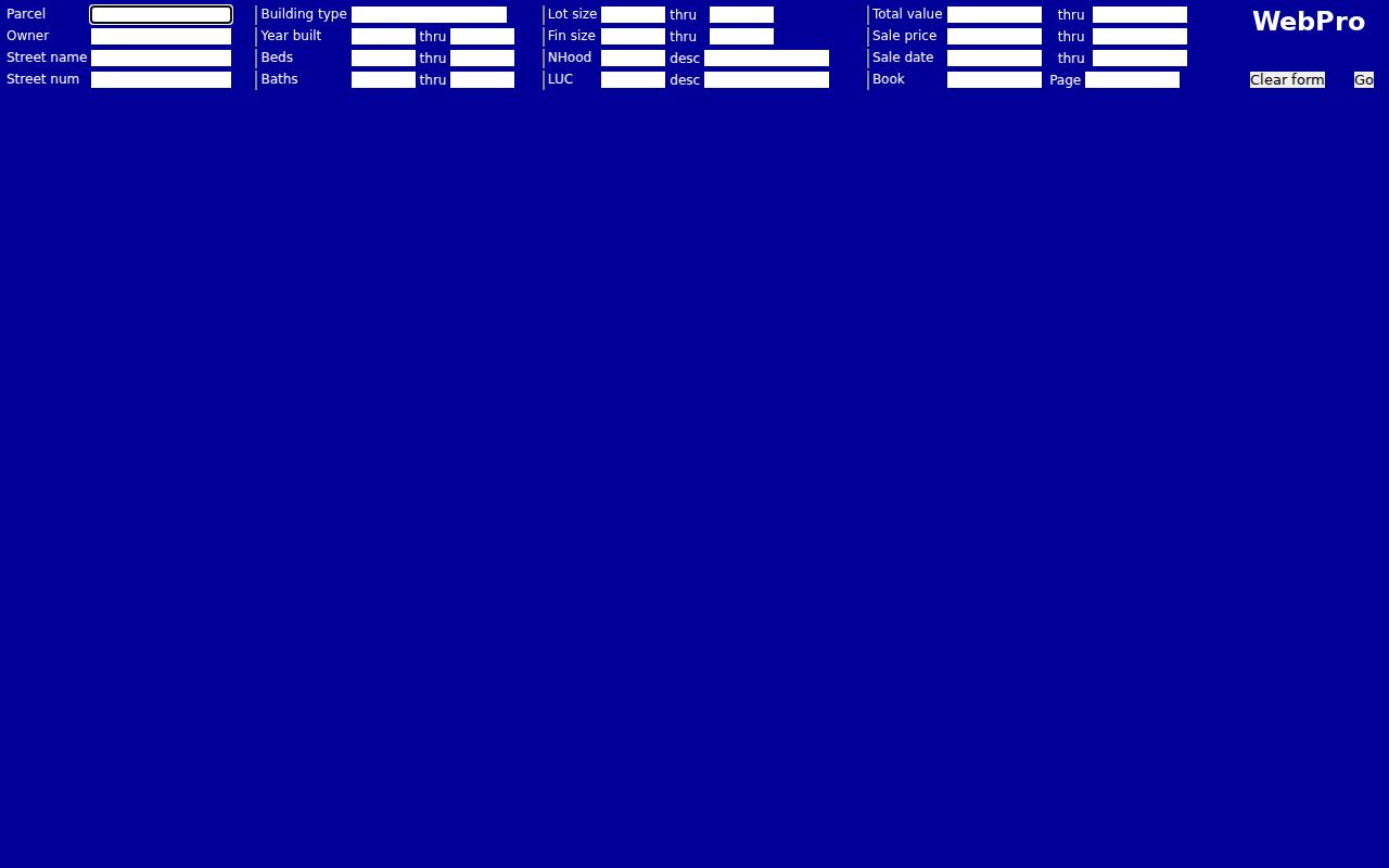
Save the exact query and result date because field labels, values, and returned rows can change with an assessment update.
Marshfield Street Records by Address
Several address-keyed sources can answer different parts of a Marshfield street research question. The assessor is the current parcel and assessment crosswalk. GIS supplies spatial context. Registry books and plans tie a parcel to legal land records. The Town Clerk’s verified links point to resident street listings for 2016 through 2021, though the reviewed files were not available for field inspection. Older directories and Sanborn maps add historical street and building context, not current status.
| Address record | Marshfield coverage | What it can establish | Access |
|---|---|---|---|
| Patriot assessor card | FY2026 page with January 1, 2025 valuation context | Parcel, situs, assessment owner, mailing, value, and sale lead | Online or assessor counter |
| Town GIS | Current public viewer; layer date not stated | Road, parcel geometry, and spatial context | Public map viewer |
| Registry books and plans | Books from 1686; plans from 1890 | Recorded instruments, plans, and legal references | TitleView / Registry |
| Town Clerk street lists | Links for 2016–2021, fields unverified | Dated town compilation if produced | Clerk link or request |
| Directories and Sanborn maps | 1894, 1915, 1918, 1926; 1916 and 1954 maps | Historical address, street, and building context | Library and repository route |
The Marshfield Assessors office explains property cards, maps, and the owner or map-and-parcel information available through its office.
When an online result is too thin, the counter or a focused request for prior field cards can provide the appropriate documented follow-up.
Note: A Town Clerk street-list link confirms a local compilation exists, not the fields, publication date, or currentness of every linked file.
Marshfield Address Trail to TitleView
Address research moves from the assessor to the Registry by preserving the parcel’s best lead. In TitleView, select Marshfield and search by business or name, party type, register, document type, recorded-date range, or book/page. Results commonly identify a party, party role, document type, town, recording date, book/page or document number, and an image or view action. The document image, when available, is where the legal description, plan reference, restrictions, easements, and signatures belong.
The Registry’s linked grantor/grantee indexes run from August 6, 1686 to the present, but older material needs care. Books begin with Book 1 in 1686. The online indexed route begins around Book 2393, while Books 1 through 2392 use the unindexed workflow and may require printed-index checking. Plans are linked from 1890 forward, and registered land begins in 1899. A failed modern name search is not proof that an older Marshfield street had no instrument.
The Registry’s Search Records page provides its official TitleView and copy-order route.
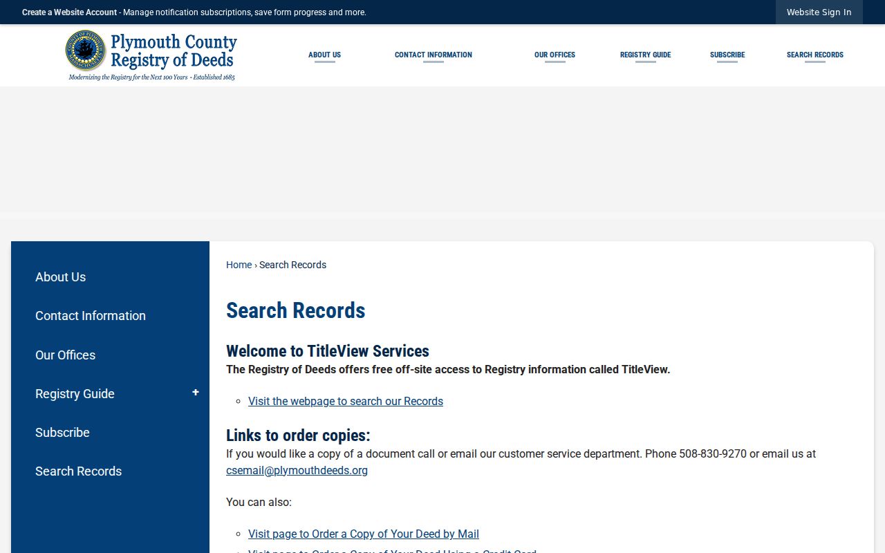
Search and viewing are free through TitleView, while printing and recorded-copy options follow separate Registry terms and should be checked when needed.
Marshfield Street Addresses Need Two Labels
A property record can carry both a situs address and a mailing address. The situs is the physical property location. The mailing value is where the assessment notice is sent. They may differ, so the mailing city should never be turned into a claim about a Marshfield street occupant. The reviewed assessor example for 10 Ames Avenue makes the distinction visible: the record pairs a Marshfield situs with an out-of-town tax mailing address and a parcel key.
Keep four labels apart: the street address entered, the assessor situs, the mailing address, and the postal city or ZIP. Add the assessment year and map/lot when shown. A trust, entity, or abbreviated owner name can also require a separate registry search. These modest labels stop an address search from turning a mailing relationship into an unsupported personal location.
- Parcel
- The municipal key that joins an assessor card to map and deed research.
- Situs address
- The physical property location used by the assessor.
- Plat or plan
- A recorded map that can show lots, streets, easements, or subdivision geometry.
- Criss-cross directory
- An address-first directory format; no separate official Marshfield run was located.
Note: The assessor card is an assessment record, not complete proof of occupancy, current title, or a household relationship.
Marshfield Parcel Map Check
The town’s ArcGIS viewer is useful as a map crosswalk. Use it after finding an address or parcel to see road placement, parcel geometry, neighborhood context, and nearby parcel IDs. The research did not establish a stable field inventory for the live app, so do not assume a particular layer or query control will always be present. Save the map date and layer name, then confirm the property details on the assessor card and the legal boundary in a plan or deed.
Marshfield’s public ArcGIS viewer is the map route. It aids navigation but does not establish a resident, title, or current boundary by itself. For adjacent parcels, record the IDs first and then compare the appropriate assessment year and recorded plan.
Marshfield Street History Sources
For an old Marshfield street, use the year as part of the search. State Library holdings include directories for 1894, 1915, 1918, and 1926. The combined 1918 and 1926 Scituate-and-Marshfield volumes can distinguish alphabetic inhabitants, street listings, business sections, officials, institutions, and summer residents. A person in a summer-resident section is a dated seasonal listing, not proof of a present relationship to the same address.
The Library of Congress has digitized seven-sheet Marshfield Sanborn sets for 1916 and 1954, while the State Library listing notes 1933 through 1942 coverage. These maps can supply a street spelling, building footprint, or village setting. Ventress Memorial Library and the Historical Society provide additional local-history routes. The historical volumes and their entry-level cautions are explained in the Marshfield city directories collection.
A simple criss-cross method starts with a printed street and number, locates the likely parcel through GIS and the assessor, and then compares the registry chain. If a number no longer exists, use plans, old road names, nearby parcels, and the historical repository instead of guessing a modern replacement.
Marshfield Coastal Street Names
Marshfield street research needs local geography without overreading it. The master plan identifies a center, hills, northern area, and coastal places including Rexhame, Fieldston, Ocean Bluff, Brant Rock, Green Harbor, and Sea View. Marshfield Hills is a registered historic district around Main Street, Old Main Street, Pleasant Street, and Route 3A. The coastal labels reflect planning and historical context, while the assessor situs and recorded deed remain the address and land-record checks.
Postal labels complicate the coast. Official tables associate 02020 with Brant Rock and 02041 with Green Harbor, yet Green Harbor reaches neighboring Duxbury and the reviewed sources did not provide a current USPS boundary polygon. Use an exact USPS delivery check and preserve the postal city separately. A village or beach name can help find a historic map sheet, but it should not silently replace the street value on a Marshfield record.
Limits of Marshfield Address Records
Marshfield address research can assemble address-keyed records, but it cannot turn each address into a verified household roster. Confidential voter registration, Address Confidentiality Program protections, restricted vital material, and court limits can suppress or limit information. Public sources also carry different dates. A current assessment card may reflect a tax date, while a directory or Sanborn map may be historical. Do not fill a missing value by combining other records or by inferring a personal relationship from a shared address.
When a needed municipal record is not online, request it precisely. For example, ask for assessor cards and maps for a defined street segment as of a stated year, recorded subdivision or plan references for a segment, or permits for one address over a date range. Marshfield FOIA Direct accepts clear requests, and Massachusetts public-records guidance generally calls for a response within 10 business days. The first four hours of staff time are free, followed by the reported personnel and copy limits.